Your cart is currently empty!

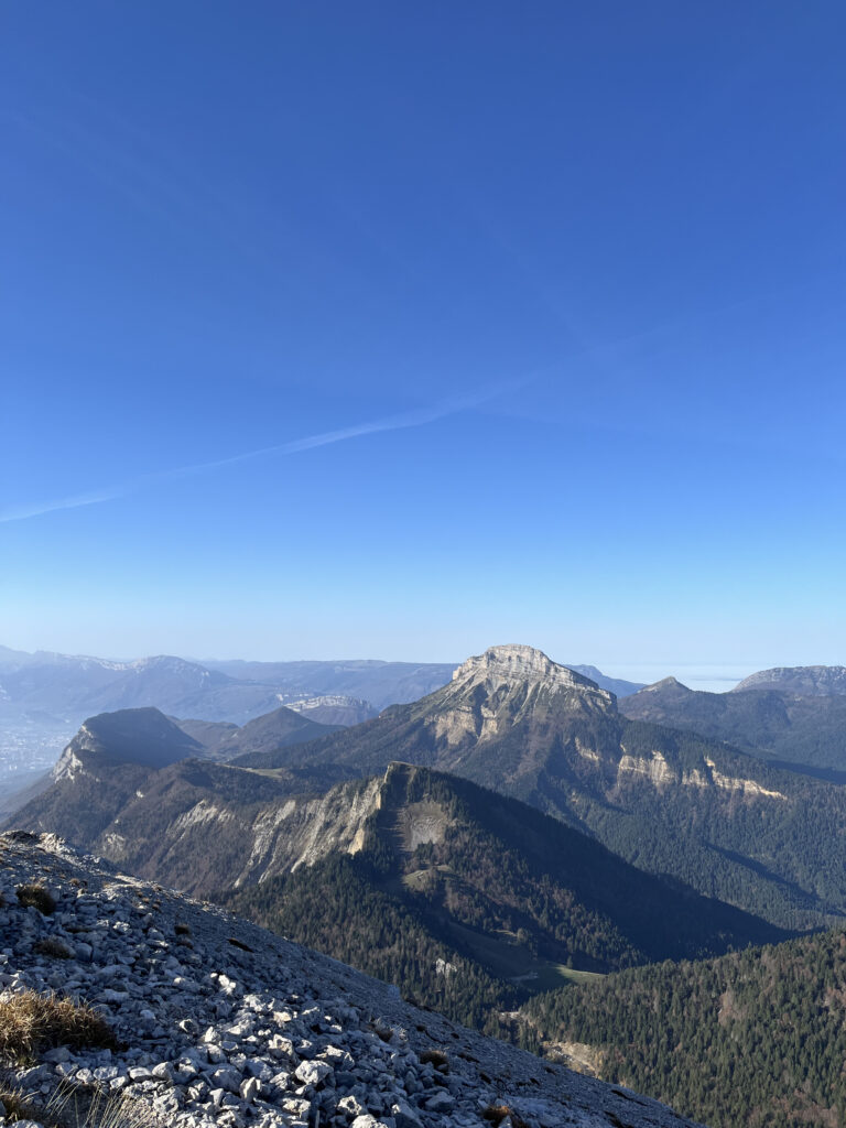
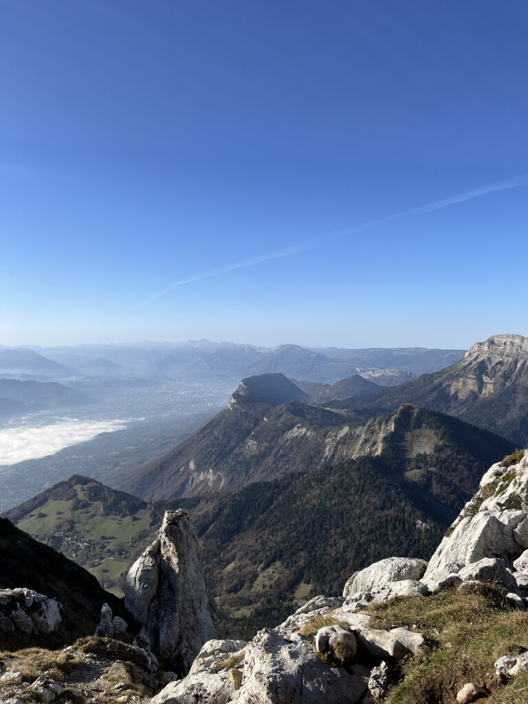
Proudly overlooking the Grenoble basin, Chamechaude is the highest peak in the Chartreuse Mountains (2,082 m). The climb offers absolutely spectacular 360° views: Grenoble at your feet, the Belledonne ridges opposite, the Vercors cliffs to the south and, on a clear day, the silhouette of Mont Blanc on the horizon.
Useful information
Starting altitude : 1,326 m (Col de Porte)
Summit altitude : 2,082 m
Elevation gain : approximately +750 m
Round trip distance : approximately 7 km
Average duration : 3.5 to 4 hours
Difficulty : Moderate to strenuous
Markings : yellow and red (PR)
Recommended period : May to October
Itinerary
1. The departure point is Col de Porte (1,326 m).
2. Follow the yellow and red markings throughout your ascent.
3. You can take a break at the Bachasson hut to enjoy the view.
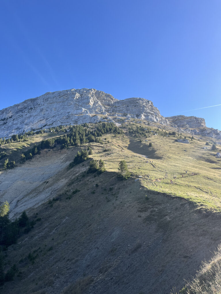
4. The final cable section (only a few meters) requires a little caution, especially if you are not comfortable with heights, but it is still very easy.
5. Once at the summit of Chamechaude, the more experienced hikers can choose to make a loop by descending via the Habert de Chamechaude. This route is a little longer and wilder, but well marked.
Access by soft mobility
From Grenoble city center, take tram B to the La Tronche – Hôpital stop, then take bus 62 of the TAG/TouGo network towards Sappey-en-Chartreuse/Col de Porte. Get off at the Col de Porte terminus, which is the starting point of the trail. The journey takes about an hour from Grenoble and costs €2. The line runs every day, with around six to eight departures daily, and more at weekends and in summer. Timetables are available at tag.fr or tougo.fr. When you arrive, the trail starts just above the bus stop.
Good to know
Chamechaude is also suitable for winter outings: the same route can be done on snowshoes or cross-country skis, provided you are familiar with the mountain and check the snow conditions and avalanche risk. The summit is very exposed: it is not recommended to go there in stormy weather. The cable passage, although easy, requires caution, especially if the rock is wet. Remember to stay on the marked trails to preserve the alpine flora. Bring water (there are no springs on the route) and protection from the wind and sun.