Your cart is currently empty!

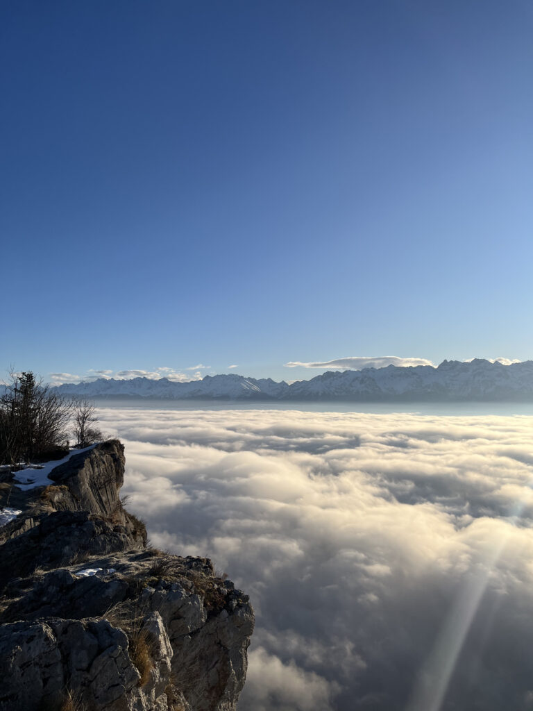
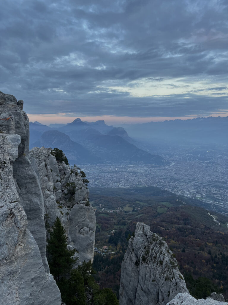
A symbol of Grenoble, the Bastille dominates the city and offers an exceptional panorama of the Isère valley, the Vercors massif, the Chartreuse and the Belledonne mountain range. Directly accessible from the city center, it offers a network of marked trails perfect for all types of visitors: walkers, experienced hikers, and trail runners.
From the Bastille, it is possible to continue on to medium-altitude hikes, up to the plateaus and forests of the massif.

Useful information
Departure : Grenoble center (several possible access points)
Arrival : Fort de la Bastille (476 m) or Mont Jalla (630 m)
Elevation gain : approximately +300 m (up to +450 m with Mont Jalla)
Duration : between 30 min and 2 hrs depending on the route chosen
Distance : 2 to 8 km depending on the route
Level : easy to moderate
Recommended period : all year round (avoid in slippery or icy conditions)
Two routes to climb the Bastille
La Bastille from Porte de France
Ascent : 50 min
Descent : 30 min
Elevation gain : +300 m
Terrain : paths and stairs
Departure : Porte de France, left bank of the Isère
The Bastille on the Saint-Laurent side
Ascent : 1 hour
Descent : 40 minutes
Elevation gain : +300 m
Terrain : paths and stairs
Departure : Porte Saint-Laurent
Itinerary
From the Porte de France, cross the small park and follow the path up the hillside. You will pass several secondary bastions, remnants of the city’s former defensive system. The path, shaded in places, joins the upper stairs leading to the Bastille.
You will rejoin the main path shortly before reaching the summit.
Itinerary
From Porte Saint-Laurent, take the staircase on the right towards the Jardin des Dauphins. The marked trail winds its way uphill through the ancient fortifications, offering beautiful views of the city.
After about an hour’s walk, you will reach the Bastille esplanade, with its breathtaking view of Grenoble and the Belledonne, Vercors, and Chartreuse mountain ranges.
Once at the top of the Bastille, there are several hikes to choose from :
30 min loop (50 m elevation gain) or 1 hr round trip to the bottom (230 m)
Terrain : trail and stairs
30 min
Elevation gain : +30 m
Special feature : underground stairs (more than 260 steps!)
30 min from the Bastille
Additional elevation gain : +140 m
Terrain : forest trail
View of the Chartreuse massif as far as the Voreppe gorge
2 to 4 hours, or even several days
Saint-Martin-le-Vinoux, La Tronche, or Mont Rachais
Access by soft mobility
The Bastille is fully accessible by public transport, tram, bus, bike, or on foot.
You can also take the Bastille cable car (the famous “Bulles”) for an effortless ascent or descent.
Prices and timetables are available here : bastille-grenoble.fr/tarifs-individuels
Tips and Safety
Wear suitable shoes : the stairs can be slippery, especially after rain.
Avoid the hottest hours in summer; there is little shade on some sections.
In winter, watch out for ice on the steps.
The site is open to the public all year round, but access is restricted at night:
– Fort gate: closed between 9 p.m. and 6 a.m. (or midnight if the cable car is open in the evening)
– Jardin des Dauphins: open from 8 a.m. to 9 p.m. all year round